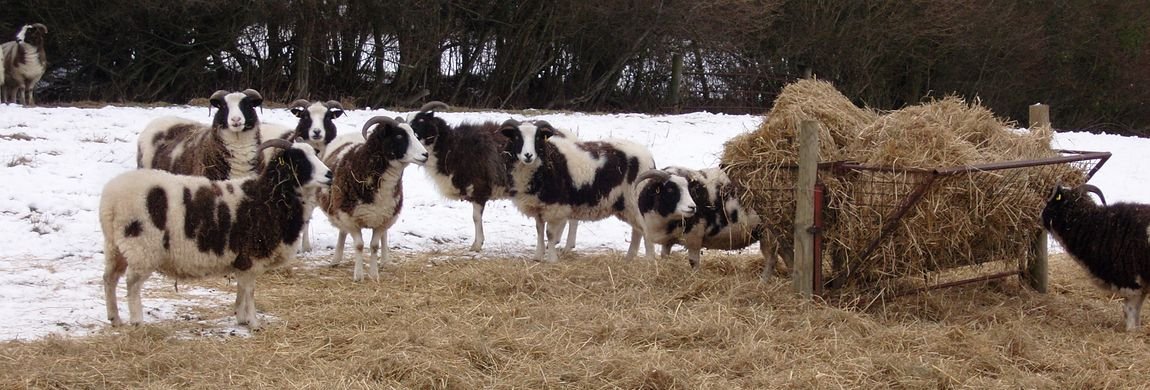
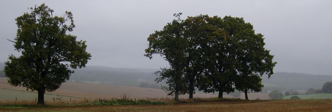


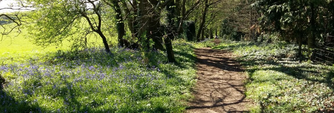


 The area around Lockerley is blessed with a large number of footpaths. These rights of way are identified on what are known as Definitive Maps and these are required to be published by each county and maintained monthly taking into account updates and accepted variations. For Hampshire definitive rights of way the link is here and for Wiltshire rights of way it is here
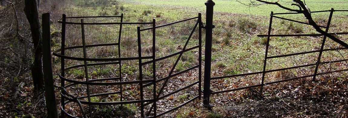
Rights of Way can not be arbitrarily stopped or extinguished. There has been some debate relating to some footpaths that used to exist prior to WWII and good arguments as to why these should have been re-established.
At the time of writing this - ca 2020 - the Ramblers Association has estimated that some 49 000 km of footpaths are not presently identified on the Definitive Maps of England. Government decisions have set a closing date in 2026 by which time any such paths shall have been identified failing which any rights of way would lapse.
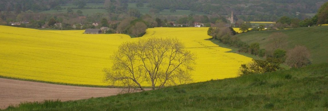
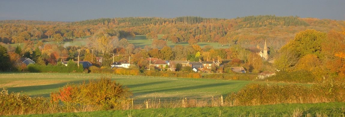
Historically footpaths would have existed alongside filed boundaries as routes by which labourers could reach nearby farms, villages, churches, villages and other places. Reference to tithe maps is a useful resource. Routes thus established can not be extinguished and they form a valuable public resource.
A new public right of way may be established if it has been in use for at least 20 years though it may be necessary to show that this usage has been unhindered.